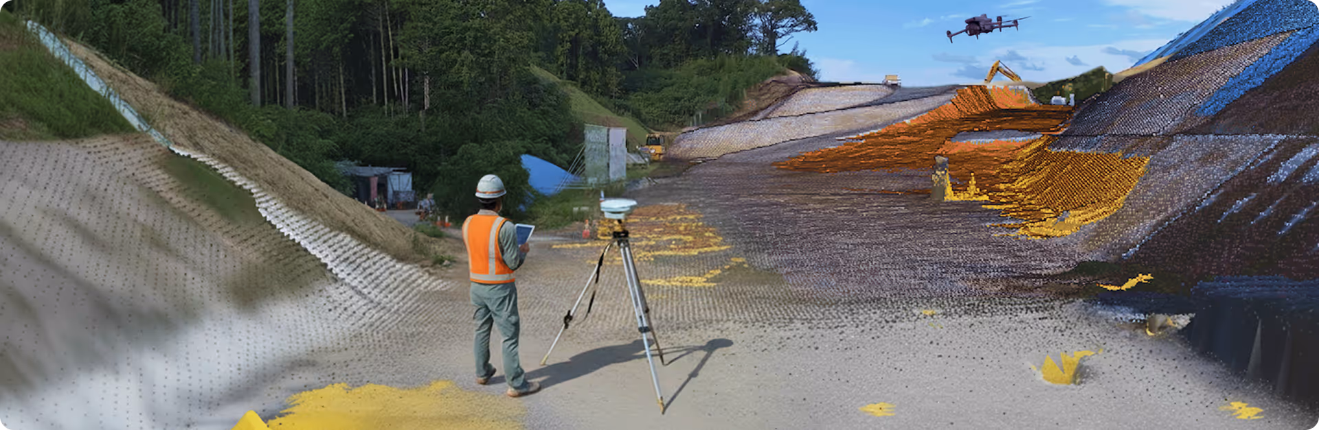
Draw and output simple temporary design data based on site topographic data
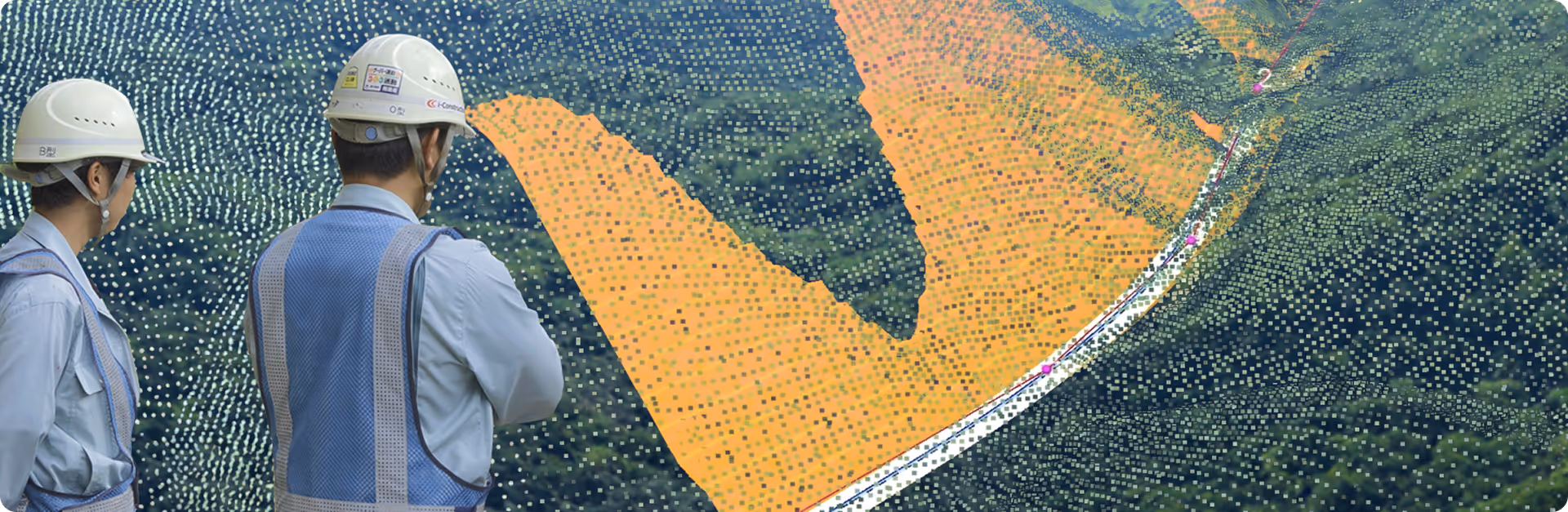
Digitally grasp the site's terrain
#DroneMeasurement #MobileMeasurement #GNSSMeasurement #AR
Automatically suggests optimal construction procedures
#ConstructionSimulation (soil distribution, operation rate, rainwater analysis)
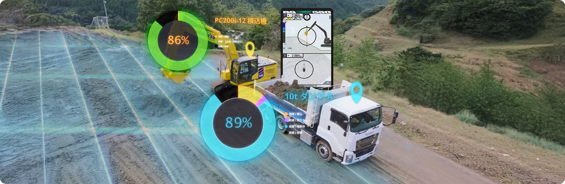
Visualize the operation of ICT construction machinery and vehicles in real time
#3DMachineGuidance #WorkMonitoring #VehicleLocationManagement
Manage site progress, environment, and work status
#ProjectManagementTool #DataIntegrationManagement